Ayagoz or Ayakoz (Kazakh: Аягөз, Aiagöz), formerly Sergiopol (Russian: Сергиополь), is a city of regional significance in Kazakhstan, the administrative centre of Ayagoz district of Abai Region. Population: 37,537 (2009 Census results);[1]38,470 (1999 Census results).[1]
Ayagoz Аягөз • Aiagöz Аягоз (in Russian) | |
|---|---|
 Seal | |
 Ayagoz Location in Kazakhstan | |
| Coordinates: 47°58′0″N 80°26′0″E / 47.96667°N 80.43333°E | |
| Country | Kazakhstan |
| Region | Abai Region |
| Founded | 1831 |
| Incorporated (city) | 1939 |
| Government | |
| • Akim (mayor) | Mukhtarkhanov Anuarbek Mukhtarkhanuly |
| Area | |
| • City | 161 km2 (62 sq mi) |
| Population (2009) | |
| • Metro | 37,537 |
| Time zone | UTC+6 (ALMT) |
| Postal code | F24**** |
| Area code | +7 72237 |
| Website | http://ayagos.vko.gov.kz/kz |
| Kazakh | |
Geography
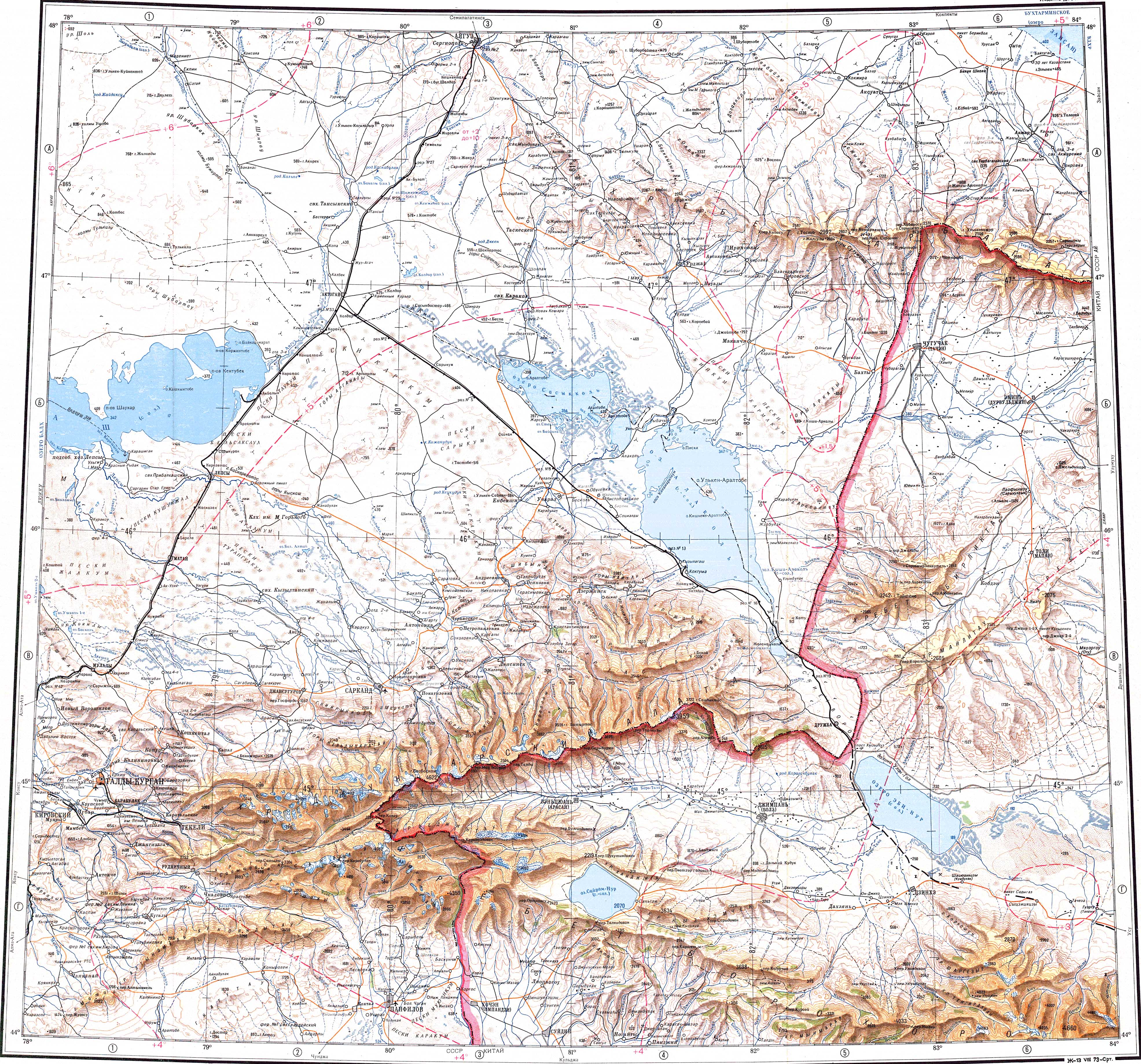
editIt is located at the southeastern end of the Chingiztau range, on the banks of the river Ayagöz.[2][3]
History
editThe town was incorporated in 1939 under the authority of the USSR.
In 1991 it became an administrative center of Ayagoz District.
Climate
editAyagoz has a warm-summer continental climate (Dfb) in the Köppen climate classification.
| Climate data for Ayagoz (1991–2020) | |||||||||||||
|---|---|---|---|---|---|---|---|---|---|---|---|---|---|
| Month | Jan | Feb | Mar | Apr | May | Jun | Jul | Aug | Sep | Oct | Nov | Dec | Year |
| Mean daily maximum °C (°F) | −10.3 (13.5) | −7.3 (18.9) | 0.7 (33.3) | 14.3 (57.7) | 21.4 (70.5) | 26.8 (80.2) | 28.4 (83.1) | 27.4 (81.3) | 21.0 (69.8) | 12.6 (54.7) | 0.7 (33.3) | −7.5 (18.5) | 10.7 (51.3) |
| Daily mean °C (°F) | −15.8 (3.6) | −13.4 (7.9) | −5.4 (22.3) | 7.0 (44.6) | 13.7 (56.7) | 19.4 (66.9) | 21.1 (70.0) | 19.5 (67.1) | 12.8 (55.0) | 4.9 (40.8) | −5.3 (22.5) | −12.8 (9.0) | 3.8 (38.8) |
| Mean daily minimum °C (°F) | −20.7 (−5.3) | −18.7 (−1.7) | −10.6 (12.9) | 0.4 (32.7) | 6.0 (42.8) | 11.9 (53.4) | 14.0 (57.2) | 11.7 (53.1) | 5.1 (41.2) | −1.3 (29.7) | −10.0 (14.0) | −17.7 (0.1) | −2.5 (27.5) |
| Average precipitation mm (inches) | 17.8 (0.70) | 15.7 (0.62) | 16.6 (0.65) | 21.5 (0.85) | 27.5 (1.08) | 31.5 (1.24) | 39.9 (1.57) | 22.3 (0.88) | 13.1 (0.52) | 24.9 (0.98) | 31.6 (1.24) | 24.8 (0.98) | 287.2 (11.31) |
| Average precipitation days (≥ 1.0 mm) | 5.4 | 4.6 | 4.0 | 4.4 | 4.6 | 4.8 | 6.1 | 3.4 | 2.7 | 5.1 | 6.6 | 7.2 | 58.9 |
| Source: NOAA[4] | |||||||||||||
References
edit- ^ a b "Население Республики Казахстан" [Population of the Republic of Kazakhstan] (in Russian). Департамент социальной и демографической статистики. Retrieved 8 December 2013.
- ^ "L-44 Topographic Chart (in Russian)". Retrieved 4 October 2022.
- ^ Google Earth
- ^ "World Meteorological Organization Climate Normals for 1991-2020 — Ayagoz". National Oceanic and Atmospheric Administration. Retrieved January 2, 2024.
47°58′N 80°26′E / 47.967°N 80.433°E
 | This Kazakhstan location article is a stub. You can help Wikipedia by expanding it. |
🔥 Top keywords: Akademia e Shkencave e RPS te ShqiperiseAlexandria Ocasio-CortezBilderberg GroupCristiano RonaldoDong XiaowanMinecraftOperation GladioPrimal cutRiot FestStrictly Come Dancing (series 7)Main PageSpecial:SearchUEFA Euro 2024Wikipedia:Featured picturesInside Out 2Callum Styles.xxxCleopatraDonald SutherlandZaheer IqbalHouse of the DragonDeaths in 20242024 Copa América2024 ICC Men's T20 World CupUEFA European ChampionshipCopa AméricaLyndon DykesJessica AlbaBilly IdolSonakshi SinhaYouTubeSherri Papini kidnapping hoaxTom KimSha'Carri RichardsonThe BikeridersSabrina CarpenterThe Boys (TV series)Cristiano RonaldoJeff KentJ. Robert OppenheimerJacob FatuChappell RoanChé AdamsProject 2025Christian PulisicTaylor SwiftMaharaja (2024 film)The Boys season 4Bridgerton