Payl:Istria Croatian Adriatic.png
Istria_Croatian_Adriatic.png (596 × 559 pixels, size sa payl: 84 KB, MIME type: image/png)
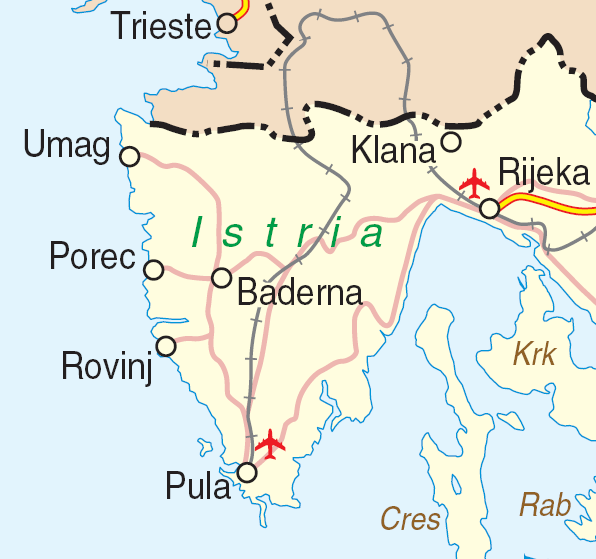
| Deskripsyon | Map of Istria, Croatia | |||
| Petsa | ||||
| Gigikanan | http://www.un.org/Depts/Cartographic/map/profile/croatia.pdf | |||
| Tagsulat | Department of Peacekeeping Operations Cartographic Section | |||
| Pagtugot (Paggamit pag-usab niini nga file) |
|

Kaagi sa payl
I-klik ang petsa/oras aron makit-an ang hulagway sa payl niadtong panahona.
| Petsa/Takna | Thumbnail | Mga dimensyon | Tiggamit | Komento | |
|---|---|---|---|---|---|
| kasamtangan | 16:59, 23 Marso 2007 | | 596 × 559 (84 KB) | Minestrone | {{Information| |Description=Map of Istria, Croatia |Source=http://www.un.org/Depts/Cartographic/map/profile/croatia.pdf |Date=June, 2004 |Author=Department of Peacekeeping Operations Cartographic Section |Permission={{UN map}} }} |
Mga paggamit sa payl
Ang mosunod nga mga panid misumpay niining payl:
Global nga paggamit sa payl
Kining ubang wiki naggamit ning maong payl:
- Paggamit sa bs.wikipedia.org
- Paggamit sa de.wikipedia.org
- Paggamit sa en.wikipedia.org
- Paggamit sa hr.wikipedia.org
- Paggamit sa it.wikivoyage.org
- Paggamit sa www.wikidata.org