Fitxer:Map of Malaysia Demis.png

Mida d'aquesta previsualització: 800 × 365 píxels. Altres resolucions: 320 × 146 píxels | 640 × 292 píxels | 1.480 × 675 píxels.
Fitxer original (1.480 × 675 píxels, mida del fitxer: 230 Ko, tipus MIME: image/png)
| Aquest fitxer i la informació mostrada a continuació provenen del dipòsit multimèdia lliure Wikimedia Commons. |
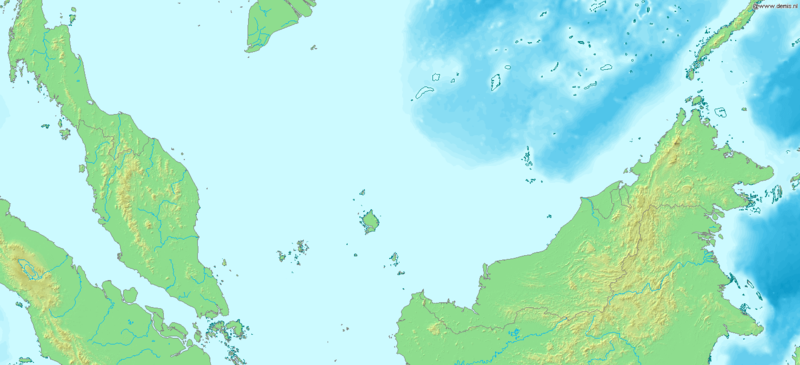
Map of Malaysia
Bounding box West 98°, South 0°, East 120°, North 10°.Center at 5°00′00″N 109°00′00″E / 5.00000°N 109.00000°E.
This image is in the public domain because it came from the site https://www.demis.nl/products/web-map-server/examples/ and was released by the copyright holder. Permission is granted to copy, distribute and/or modify this map since it is based on free of copyright images from: www.demis.nl. See also approval email on de.wp and its clarification. |
| This work has been released into the public domain by its copyright holder, www.demis.nl. This applies worldwide. En alguns països això pot no ser legalment possible, en tal cas: www.demis.nl concedeix a tothom el dret d'usar aquesta obra per a qualsevol propòsit, sense cap condició llevat d'aquelles requerides per la llei. |
Historial del fitxer
Cliqueu una data/hora per veure el fitxer tal com era aleshores.
| Data/hora | Miniatura | Dimensions | Usuari/a | Comentari | |
|---|---|---|---|---|---|
| actual | 19:51, 20 des 2006 | | 1.480 × 675 (230 Ko) | Mats Halldin~commonswiki | Map of Malaysia Bounding box West 98°, South 0°, East 120°, North 10°. Center at {{coor d|5.00000|N|109.00000|E|scale:6000000}}. {{demis-pd}} category:maps of Malaysia |
Ús del fitxer
La pàgina següent utilitza aquest fitxer:
Ús global del fitxer
Utilització d'aquest fitxer en altres wikis:
- Utilització a es.wikipedia.org
- Utilització a fi.wikipedia.org
- Utilització a la.wikipedia.org
- Utilització a mdf.wikipedia.org
- Utilització a tr.wikipedia.org
- Utilització a uk.wikipedia.org
Metadades
🔥 Top keywords: PortadaEspecial:CercaMònica López (actriu)À Punt FMJosep Maria Lari VilaplanaLliga de Campions de la UEFASenyor BarragánLana Del ReyBallspielverein Borussia 09 DortmundCarlo AncelottiOut of AfricaTaylor SwiftJoan-Ramon Laporte RossellóWembley StadiumXavlegbmaofffassssitimiwoamndutroabcwapwaeiippohfffXPatum de BergaViquipèdia:ContacteEufòria 3Corpus ChristiEspecial:Canvis recentsToni KroosJude BellinghamEufòria (programa de televisió)El nostre últim estiu a EscòciaMarco ReusL'ou com ballaHans-Dieter FlickLenny KravitzKaren BlixenDaniel Carvajal RamosAntoni Comín i OliveresRapa (sèrie de televisió)Manuel de Pedrolo i MolinaDoctor Jivago (pel·lícula)Tor (Alins)Lluís Llach i GrandeDortmundReial Madrid Club de FutbolSergi Pàmies i Bertran