
Size of this preview: 800 × 424 pixels. Other resolutions: 320 × 170 pixels | 640 × 339 pixels | 1,024 × 543 pixels | 1,280 × 678 pixels | 2,283 × 1,210 pixels.
Original file (2,283 × 1,210 pixels, file size: 1.28 MB, MIME type: image/png)
| This is a file from the Wikimedia Commons. Information from its description page there is shown below. Commons is a freely licensed media file repository. You can help. |
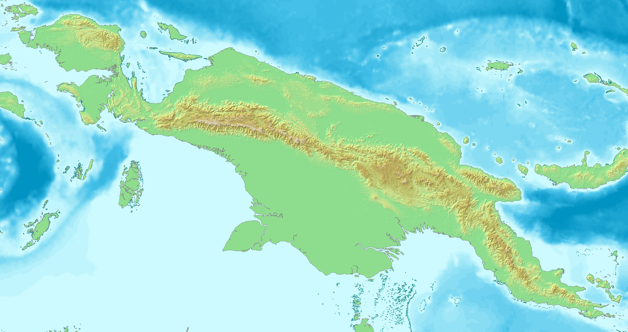
| Description | Topological map of Neu Guinea |
| Date | |
| Source | own work, created with DEMIS Webserver |
| Author | Lencer |
 | This map has been made or improved in the German Kartenwerkstatt (Map Lab). You can propose maps to improve as well. |
| This work has been released into the public domain by its author, demis.nl. This applies worldwide. In some countries this may not be legally possible; if so: demis.nl grants anyone the right to use this work for any purpose, without any conditions, unless such conditions are required by law. |
File history
Click on a date/time to view the file as it appeared at that time.
| Date/Time | Thumbnail | Dimensions | User | Comment | |
|---|---|---|---|---|---|
| current | 15:52, 6 September 2007 | | 2,283 × 1,210 (1.28 MB) | Lencer | {{Information| |Description=Topological map of Neu Guinea |Source=own work, created with [http://www.demis.nl/home/pages/home.htm DEMIS] Webserver |Date=September 2007 |Author=Lencer |other_versions= }} {{Kartenwerkstatt}} {{PD-aut |
File usage
The following pages on the English Wikipedia use this file (pages on other projects are not listed):
Global file usage
The following other wikis use this file:
- Usage on ba.wikipedia.org
- Usage on de.wikipedia.org
- Usage on fr.wikipedia.org
- Usage on hi.wikipedia.org
- Usage on hu.wikipedia.org
- Usage on ko.wikipedia.org
- Usage on ml.wikipedia.org
- Usage on si.wikipedia.org
- Usage on tg.wikipedia.org
- Usage on uz.wikipedia.org
- Usage on www.wikidata.org
- Usage on zh.wikipedia.org
🔥 Top keywords: Akademia e Shkencave e RPS te ShqiperiseAlexandria Ocasio-CortezBilderberg GroupCristiano RonaldoDong XiaowanMinecraftOperation GladioPrimal cutRiot FestStrictly Come Dancing (series 7)Main PageSpecial:SearchWikipedia:Featured picturesPawan Kalyan2024 Indian general electionKristaps PorziņģisMichael Mosley (broadcaster)Normandy landingsChirag PaswanOperation Praying MantisCleopatraPat SajakDeaths in 2024Jannik SinnerCarlos Alcaraz2024 ICC Men's T20 World CupHugh Grosvenor, 7th Duke of WestminsterSaurabh NetravalkarHighway of DeathNational Democratic AllianceThe Acolyte (TV series)Bad Boys: Ride or DieVanna WhiteHit Man (2023 film)United States national cricket teamThe Watchers (film)YouTubeUEFA Euro 2024Bill WaltonN. Chandrababu NaiduSabrina CarpenterAlexander Zverev.xxxLok SabhaBarry KeoghanHunter BidenChiranjeeviBaby ReindeerEminem